- Fiber network industry and markets
- Broadband funding
- Press
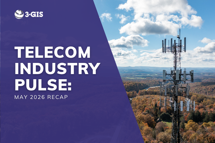
Telecom industry pulse: May 2026 recap
Network news roundup
May's fiber and broadband news reflected a global industry moving fast. Many publicly funded programs produced their first real connections, major operators made multibillion-dollar consolidation moves, independent providers pushed into new markets, and new legislation raised the bar for broadband funding accountability. Fiber Connect 2026 brought the industry together in Orlando, Florida to make sense of it all.