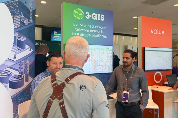
Last week, we attended the 2026 Esri International IMGIS conference in Frankfurt and joined GIS leaders, telecom operators, and industry partners, all facing the same shift in how networks are managed. The conference gave teams a chance to compare notes. What is working, what is not, and where things are breaking down between planning, field work, and operations. One thing stood out in every conversation. Now more than ever, GIS data needs to actively support the full network lifecycle. It can’t just sit idly in a system of record.
GIS continues to expand into daily operations
Throughout the week, we noticed a pattern in key themes across industries: digital twins, field mobility, automation, and enterprise data integration. Different industries framed it in their own way, but the sentiment was the same. Teams want GIS to support the full lifecycle, connecting planning, design, construction, and operations. For telecom, this is critical.

Networks are becoming more complex. The challenge is no longer just building more. It is managing what is already in place, connecting the customer faster, and giving teams clear visibility from planning through operations. It also reinforces where the market has been heading for some time. Operators want a single system of record with real-time data that connects office and field work.
The Telecom Domain Network is drawing more attention
 Esri’s Telecom Domain Network (TDN) was a big topic of conversation at the event.
There’s a lot of curiosity around what it means to bring telecom data modeling into the Esri Utility Network (UN) and where that could lead. But the conversations didn’t stop there. They quickly turned practical. What does it take to actually stand this up? What changes for teams day to day? And is it meaningfully different from what’s already in place?
This is something 3-GIS is closely involved in as well. We had the chance to dig into a lot of these questions in more detail during meetings at the show, especially around how the TDN translates into real workflows. As a beta development partner with Esri, the team is working toward enabling a direct connection to the Telecom Domain Network through 3-GIS | Web in Q1 2027.
Turning public data into actionable information
During the show, our very own Drew Peele presented on the value of public data for telecom operators.

The discussion looked at how operators can take large, often siloed datasets and make them usable through structured data models, basemaps, and visualization. Why does that matter? Much of this data is publicly available—and at no cost to operators. This matters because sourcing and licensing comparable datasets independently carries real operational expense. Structuring and visualizing it well means operators can actually use what already exists, rather than paying to recreate it.
Remember, data only becomes valuable when teams can actually use it. Having the information is not enough. It has to work for you.
The market is moving, and the teams leading networks are moving with it. The conversations at IMGIS were focused and practical. Less "what could this look like" and more "how do we make it work?" That is where 3-GIS is focused too. On what operators actually need to run better networks today and everyday. Want to continue the conversation? Let's schedule some time to chat.