- Esri
- 3-GIS telecom solutions
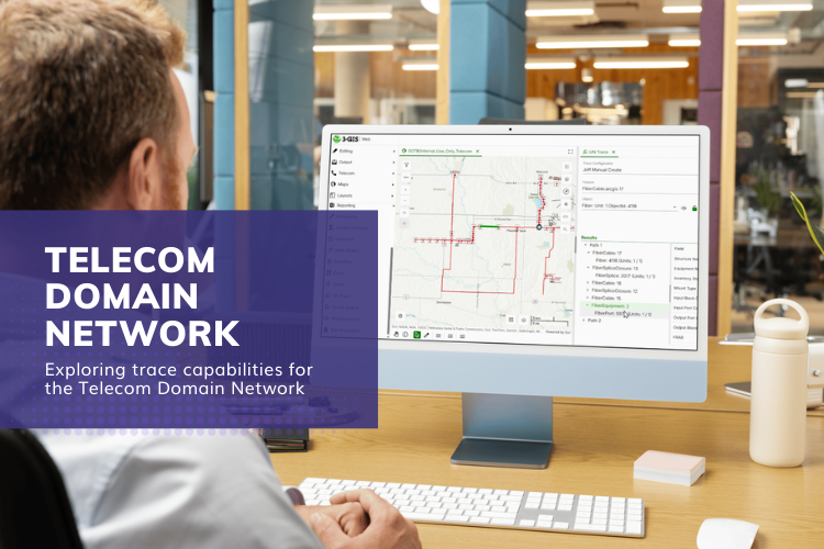
- Telecom Domain Network
First deep dive into Esri’s Telecom Domain Network – Rotterdam, April 8–10
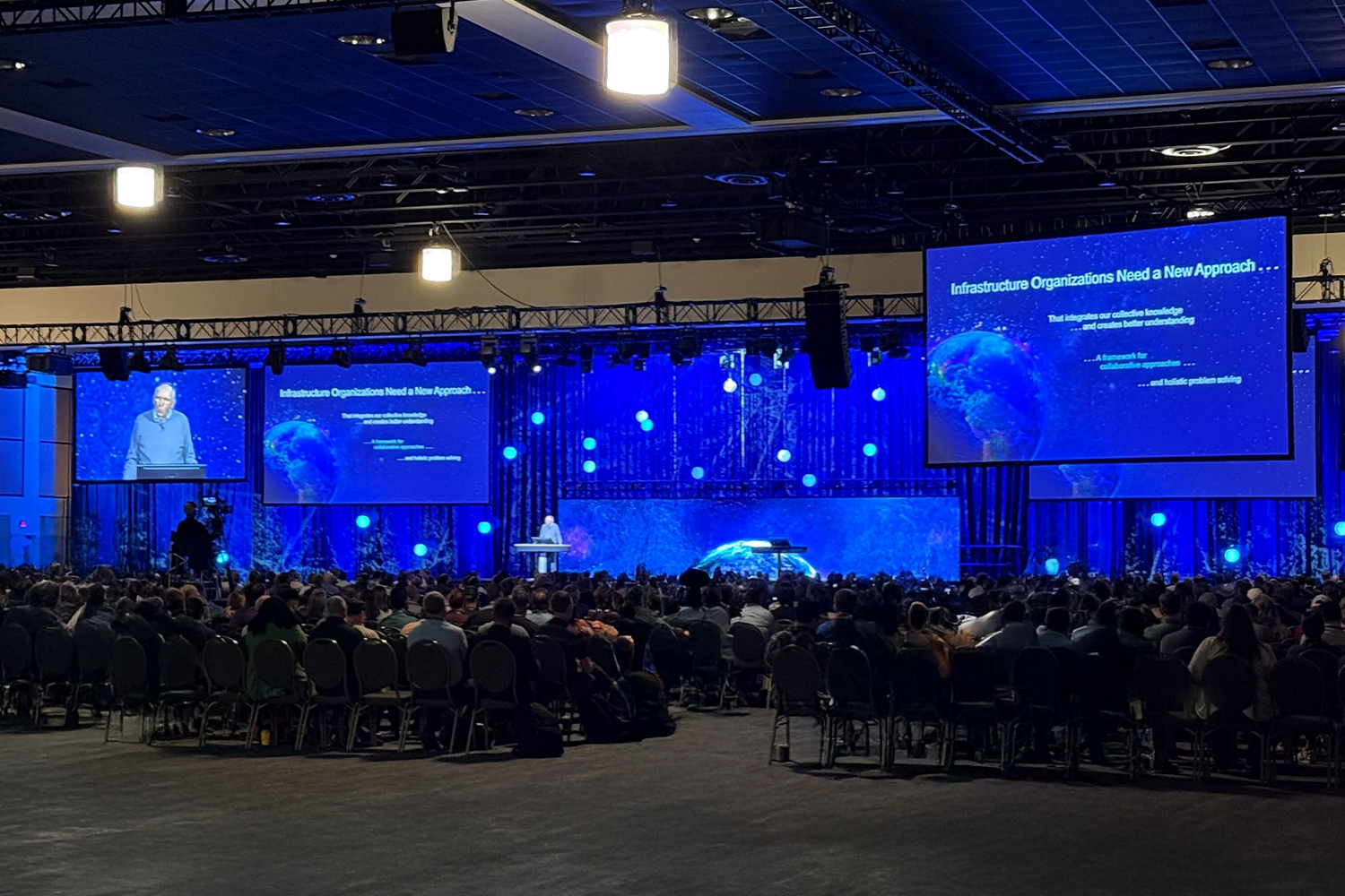
Last month, I had the opportunity to attend Esri's Telecom Domain Network (TDN) Knowledge Transfer session in Rotterdam. While others from the 3-GIS team have attended two separate Knowledge Transfer sessions in Redlands, CA in 2025, this was my first exposure to the model at a deep technical level, working directly with the Esri team and other partners who are actively engaging in its evolution.