If there’s one thing that’s consistent across the telecom industry, it’s the need for reliable data. As telcos work through their planning and growth strategies, data accessibility and integrity remain points of friction—prompting discussions around the need for enterprise GIS. But what exactly is enterprise GIS? Let’s break it down to understand why more and more organizations are embracing it.
Broadly, there are two types of GIS deployments. Project or file GIS is used in limited scope, often for specific applications with typically one user. Data here is often siloed, leading to time-consuming data manipulation and limited scalability. Enterprise GIS encompasses organization-wide use with multiple users editing and creating data simultaneously, offering real-time data collection and extensive scalability.
It’s important to note that enterprise GIS isn’t just an application; it’s a comprehensive framework that integrates spatial data and geographic analysis into every aspect of an organization’s operations to support decision-making, improve efficiency, and drive innovation. For telcos, this means using spatial data to manage network infrastructure, optimize resources, and enhance customer service.
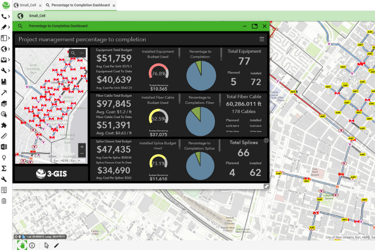
By centralizing data management, multiple teams—such as design teams in offices, field workers collecting data, and sales teams gathering market information—can work concurrently, ensuring that all data remains synchronized. Centralized data management also supports the generation of accurate reports for stakeholders and ultimately aids in generating revenue by enabling timely marketing and selling.
One of the significant advantages of enterprise GIS is its flexibility to integrate with multiple software platforms. This includes the use of database views and APIs, which enable real-time data interaction between systems, enhancing data integrity and reducing redundant data entry. Additionally, many organizations develop in-house tools or use third-party applications for high-level design, work order management, and material management, further demonstrating the versatility and adaptability of enterprise GIS.
When considering the implementation of an enterprise GIS, here are some critical questions to ask:
- Does the system support your user count and data volume needs?
- Does the vendor provide adequate support that aligns with your expectations?
- Is there a clear and forward-thinking roadmap for the solution?
- Has the system been successfully adopted by other telecom operators?
- Are there robust APIs and SDKs for integration with other tools?
- How is the data structured? Is it accessible and readable by other systems without needing complex decoding?
An enterprise GIS is not just a tool but a strategic asset for any telecom operator aiming to enhance operational efficiency, meet reporting requirements, and drive revenue growth. By leveraging comprehensive GIS solutions, operators can fully utilize their data, supporting critical objectives and ensuring sustained success.
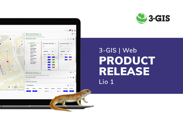
For more insights into enterprise GIS, check out this webinar on-demand: What, why, and how of enterprise GIS.