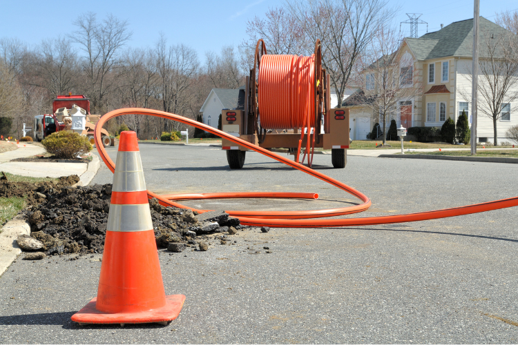
Back in 2021, Congress allocated $42.45 billion to the NTIA to create the Broadband Equity, Access, and Deployment Program—or BEAD. This was done to bring 100/20 Mbps service to every unserved and underserved location in the country.¹
Why the major investment in fiber? Because our communities depend on it for growth, adding over $1.6 trillion in household income and 380,000 in new jobs, according to a Fiber Broadband Association study.²
Four years later, the program has kicked into high gear. States are naming sub-grantees. Network designs are moving out of concept and into construction. And the window to use those funds is closing fast.
If you’re one of the awardees, you know that BEAD isn’t just a simple funding opportunity—it’s a full-scale infrastructure program with hard deadlines, detailed reporting, and real compliance. To manage all that, you need more than tools for design. You need true GIS-based fiber asset management software that tracks your network build from planning to full-scale enterprise management.
Here’s why.
What is GIS fiber asset management—and why BEAD projects depend on it
A GIS (geographic information system) for broadband lets you see everything your network touches: ducts, poles, equipment, service locations, and real-world obstacles.
The right GIS software creates a single source of truth—giving planners, engineers, contractors, and stakeholders access to the same up-to-date network information. No file silos. No version confusion. No guesswork. And for programs like BEAD (and RDOF before it), that visibility makes or breaks success.
BEAD comes with a strict deadline
BEAD requires the completion of the entire deployment within four years of receiving the award. One-year extensions are rare, and states can claw back funding if milestones are missed.³
This is where automation can shave months off a deployment timeline. For example, route planning tools can use multi-layer modeling to identify the most efficient fiber paths based on terrain, ducts, roads, and land ownership.
Faster route planning helps you:
- Start construction sooner
- Submit more competitive bids
- Design with fewer surprises
Missing an address could mean missing funding
BEAD eligibility is tied to specific serviceable locations identified in the FCC’s Broadband Serviceable Location Fabric. If a design skips a qualified address, there’s a risk of losing funding—or failing to meet coverage obligations.
GIS systems can pull in not just federal maps, but also parcel data, utility records, and field-sourced redlines. The best platforms support the incorporation of multiple file types such as shapefiles, KMZs, CAD drawings, and CSVs—so you can turn scattered datasets into a clear, unified design map.
This kind of visibility closes design gaps, accelerates reviews, and ensures you’re building exactly where you need to be.
Semi-annual reports that write themselves
Awardees must submit technical and financial reports every six months, plus a full deployment report at closeout. The first report is due just 90 days after execution—so data readiness is a must.⁴
When network assets—like strands, poles, and cabinets—live in a GIS, reporting isn’t a separate task. Bills of material (BOM), construction prints, shapefiles, and progress maps can be generated directly from the same data used in the field.
Every dollar (and match dollar) is tracked
BEAD covers up to 75 percent of eligible project costs. The remaining 25 percent—whether in cash, loans, or in-kind—must be carefully documented.⁵
GIS asset managers can help track which equipment and contractors were paid by which source. That’s essential for matching fund audits and makes financial reviews smoother at the state and federal levels.
The shortest path to BEAD success is a complete map of your network
From pre-construction to post-activation, fiber asset management software is helping providers design faster, deploy smarter, and stay compliant. The right platform won’t just draw lines—it’ll help you deliver broadband where it’s needed most, without delays or surprises.
Want to see how GIS can help you with BEAD? Talk with a 3-GIS team member today.
Citations:
1 NTIA, “Broadband Equity, Access, and Deployment (BEAD) Program,” BroadbandUSA https://broadbandusa.ntia.gov/funding-programs/broadband-equity-access-and-deployment-bead-program
2 Fiber Broadband Association & RVA, “Economic Impact of Fiber: A Study by The Brattle Group,” April 2023 https://fiberbroadband.org/wp-content/uploads/2024/11/2024.11.20-Benefits-of-Fiber-Deployment-Brattle-FINAL.pdf
3 NTIA, Obligations for Subgrantees Deploying Network Projects, August 2024 https://broadbandusa.ntia.gov/sites/default/files/2024-08/BEAD_Obligations_for_Subgrantees_Deploying_Network_Guidance.pdf
4 NTIA, BEAD Initial and Semi-Annual Reporting Requirements, BroadbandUSA https://broadbandusa.ntia.doc.gov/sites/default/files/2024-12/DOC_BEAD_Semi-Annual_Technical_Report_Guidance_v1.2.pdf
5 NTIA, BEAD Match Primer, May 2024 https://broadbandusa.ntia.doc.gov/sites/default/files/2024-05/BEAD_Match_Primer.pdf


