/250127_Img_Blog_Cover_EnhancingAccessibility.png)
GIS is essential for network planning, management, and optimisation. Telecom professionals rely on these tools to make sense of complex spatial data, helping them make informed decisions to keep networks running smoothly. But one aspect of GIS can easily get overlooked: accessibility.
As an Esri™ Platinum Partner, we build on the robust foundation of Esri's ArcGIS technology to support the specific needs of the telecom industry. This partnership allows us to deliver advanced GIS capabilities while ensuring our solutions are accessible and tailored for modern telecom challenges.
Today we want to shine a light on a thoughtful feature in Esri’s ArcGIS Pro that supports accessibility—making it easier to create maps that are accessible to everyone, including those with colour vision deficiencies (CVD). Here, we’ll explore how this simulator works and why it’s particularly valuable for the telecom industry.
Understanding CVD and its challenges
Colour vision deficiency, or colour blindness, affects about 1 in 12 men and 1 in 200 women worldwide.1 For those affected, distinguishing between certain colours—like reds and greens or blues and yellows—can be a significant challenge. In GIS, where maps often rely on colour coding to convey information, this can become a real obstacle. Misinterpreting these visualisations isn’t just inconvenient—it can lead to costly errors, inefficient resource use, or even service interruptions.
Breaking down barriers
One tool that steps up to the challenge is Esri’s Color Vision Deficiency Simulator. The feature allows users to preview how their maps will look to people with the three most common types of colour blindness; deuteranopia, protanopia, and tritanopia. By simulating these perspectives, GIS users can adjust colours and design choices to make their maps more inclusive.
Adjusting perspectives using Esri's Color Vision Deficiency Simulator
Key functionality
1. Simulating different types of colour blindness: The simulator covers the three most common types of CVD, giving users a broad understanding of how their maps might look to different audiences.
2. Real-time feedback: Adjustments happen in real-time, allowing users to tweak colours and designs on the spot. This interactive process saves time and makes it easier to prioritise accessibility.
3. Customisable design options: Users can experiment with colour ramps, symbols, basemaps, and layer transparency to make their maps not only visually appealing, but also easy to understand for everyone.
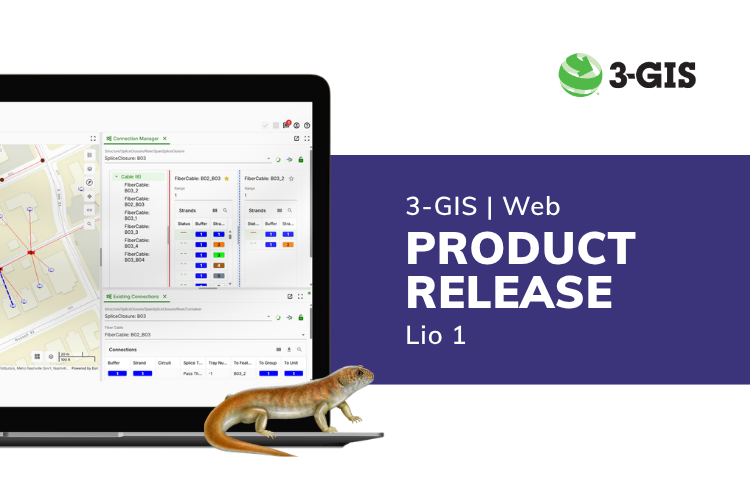
We can take these capabilities a step further by integrating accessible design principles into tools such as 3-GIS | Web. This ensures your entire GIS environment is optimised for clarity and usability.
Best practices for accessible maps with 3-GIS | Web
Inclusive design goes beyond just one tool. While the default map symbology in 3-GIS | Web has been thoughtfully designed with accessibility in mind, we offer our customers the option to fully configure symbology to reflect the specific requirements of their operations.
Here are some best practices to keep in mind when creating inclusive symbology and accessible maps:
- Use high-contrast colours: Even with adjusted colour choices, high contrast ensures that important elements stand out clearly.
- Avoid relying solely on colour: Add shapes, patterns, or labels to convey meaning. This makes your maps easier to interpret, regardless of colour perception.
- Include clear labels and legends: Make sure your maps are supported by easy-to-read labels and legends. Text descriptions can go a long way in ensuring clarity.
- Test your designs: Tools like ArcGIS Pro’s Color Vision Deficiency Simulator help you see potential issues before your maps are published.
/250127_Img_Blog_EnhancingAccessibility_TOCandConnectionManager.png?width=621&height=300&name=250127_Img_Blog_EnhancingAccessibility_TOCandConnectionManager.png)
Examples of using symbology and other visual aids in 3-GIS | Web
Why accessibility matters in telecoms
Accessibility is about more than just compliance; it’s about driving better outcomes for everyone. In the telecommunications industry, accessible tools mean:
- Empowering diverse teams: Telecom professionals include engineers, planners, technicians, and analysts who may have disabilities like colour vision deficiency. Accessible tools help everyone perform at their best.
- Reducing errors: Accurate data interpretation minimises costly errors, leading to smarter decisions and enhanced operational efficiency.
- Stronger communication: Accessible maps aren’t just for internal teams. Stakeholders, partners, and customers often rely on these visuals too. Ensuring they are easy to understand fosters trust and builds stronger relationships.
Moving forward
3-GIS combines the power of innovative GIS technology with our telecom expertise to deliver solutions that are not only cutting-edge but also inclusive. Accessibility in GIS isn’t just about ticking a box; it’s about creating tools that empower teams, enhance decision-making, and deliver better outcomes. Whether you're planning network layouts, analysing coverage, or optimising maintenance, ensure your team has the tools to work smarter and more inclusively. Want to learn more? Get in touch—we’re here to help.
Citations:
1Colour Blind Awareness. "Colour Blindness." Accessed January 27, 2025. https://www.colourblindawareness.org/colour-blindness/