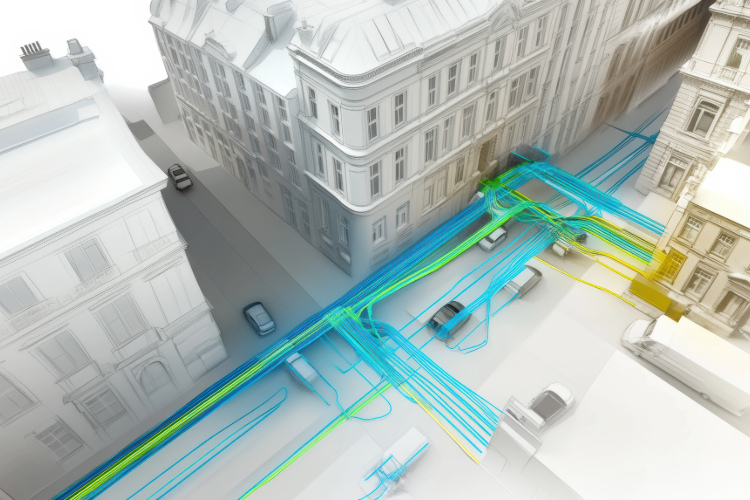
The National Underground Asset Register (NUAR) promises a potentially significant step forward for asset owners, utility providers, and network operators across the UK. Designed as a centralised platform for underground asset data, NUAR is poised to enhance safety, reduce project delays, and improve coordination across industries involved in digging and construction.1 Although infrastructure mapping has typically occurred in silos, NUAR introduces a new opportunity for greater integration and cooperation among asset stakeholders.
What is NUAR?
NUAR is a UK government-led initiative developed by the Geospatial Commission aimed at creating a single, standardised map of underground infrastructure—pipes, cables, ducts, and more—across England, Wales, and Northern Ireland. Historically, this information has been fragmented and maintained separately by utility providers, local councils, and telecom operators.
NUAR seeks to:
- Improve safety for field workers by reducing accidental asset strikes
- Minimise costly delays to street works
- Encourage collaboration and planning across sectors
- Provide a digital-first approach to infrastructure mapping
The platform is being designed to be interoperable, secure, and scalable, enabling third-party systems to connect and consume data via APIs and standard geospatial formats.
How might GIS systems consume and integrate NUAR?
To unlock the value of NUAR, GIS (geospatial information system) platforms could potentially integrate this data in several ways:
1. API integration for real-time access
NUAR could provide data via secure APIs. GIS systems would then connect to these interfaces to dynamically pull underground asset data, enriching the base maps and contextual layers available to users. This would be particularly useful for:
- Planners verifying route feasibility
- Field crews conducting pre-construction surveys
- Compliance teams checking dig permit requirements
2. Contextual layer overlays
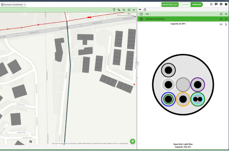
Most GIS platforms support multi-layered map views. NUAR’s asset layers—covering water, gas, electricity, telecom, and more—could be overlaid on existing network maps. This enhanced situational awareness would help mitigate the risk of striking unknown assets during excavation or infrastructure installation.
3. Data synchronisation and validation
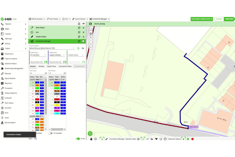
By consuming NUAR data, asset owners would have the ability to cross-validate their own records. If discrepancies did arise—such as an unregistered duct or incorrectly mapped cable—organisations could reconcile and update their records, improving data quality and reducing liability exposure.
4. Permit and planning automation
Integrating NUAR data would also help automate parts of the permitting process. For example, GIS platforms could auto-check for the presence of underground assets within a planned work zone, generating reports or compliance documentation as part of standard workflows.
5. Mobile field application support
Field users accessing GIS data via tablets or mobile devices could visualise NUAR asset information on-site alongside their organisation’s own records which would improve decision-making and helps workers quickly identify hazards.
6. Historical data and future planning
Beyond supporting immediate operational tasks, NUAR could provide historical and trend data to inform long-term asset renewal and resilience planning. By integrating this information into GIS, organisations could more accurately forecast infrastructure needs and investment priorities.
Benefits of NUAR and GIS integration
Adopting NUAR data within GIS systems would deliver a range of potential benefits:
- Improved safety: Workers gain visibility into all known underground assets, not just those owned by their organisation.
- Reduced delays: Better planning leads to fewer interruptions caused by unexpected obstacles or compliance checks.
- Higher data confidence: Regular synchronisation with a national reference improves data integrity and builds trust across project teams.
- Operational efficiency: Integrated workflows reduce time spent switching between separate systems and improve productivity.
- Enhanced collaboration: Standardised data formats and interoperable systems foster better communication between asset owners, contractors, and regulators.
Looking ahead
As NUAR continues to expand its coverage and capabilities, its potential integrations with GIS systems will become increasingly valuable. Organisations that adopt NUAR early and embed it into their geospatial workflows stand to benefit from greater efficiency, safer operations, and smarter infrastructure planning. GIS technology will be central to this transformation, providing the tools to visualise, analyse, and act on unified underground asset data.
While each organisation will have its preferred GIS platform, the broader opportunity is clear: combining authoritative national data with local operational systems to create a connected, digital foundation for infrastructure management.
For asset owners, utility providers, and public sector bodies alike, embracing this approach is a step toward more resilient and efficient networks.
Citations:
1 Geospatial Commission. “Unlocking NUAR's full potential: opportunities ahead.” UK Government, May 19, 2025. https://gdsgeospatial.blog.gov.uk/2025/05/19/unlocking-nuars-full-potential-opportunities-ahead/


