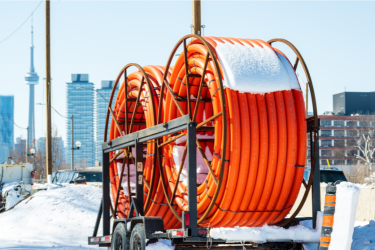
Across Canada, fiber projects are reshaping how people connect, learn, and work. But behind every new strand of cable lies a complex story of planning, mapping, and coordination. Building a national network means aligning hundreds of local efforts under one connected vision.
That local momentum is adding up. National targets aim to connect 98% of Canadians by 2026 and achieve universal access by 2030.1 It’s a goal built on collaboration, where municipalities, service providers, and engineering teams each play a part in shaping a connected Canada.
But as every new kilometer of fiber goes in the ground, keeping data accurate gets harder. GIS turns that complexity into clarity, so teams can plan confidently and move faster.
A local approach to a national challenge
Across Ontario, these ideas are taking shape in real builds. Regional broadband teams are developing shared fiber networks that support both public services and private providers.
That shared model is already at work in the Region of Durham, where Durham OneNet is developing a municipal fiber network designed to serve the entire community. The team is building a 700-kilometer open-access fiber network, leasing dark fiber to ISPs, municipalities, and public services across the region.
Starting with a blank slate meant they could design their system intentionally with GIS at the center. Using 3-GIS | Web, Durham OneNet can build a strand-level model of their network to replace manual files with a single, scalable system of record, giving them the ability to generate lease documentation and create accurate, current maps to support future projects and partnerships.
The full story of how Durham built their foundation for long-term growth is available here → Durham OneNet customer spotlight
Where precision meets progress
Durham’s story is part of a growing movement toward greater accuracy, transparency, and confidence in how networks are managed. That confidence requires accurate, connected data.
A recent feature from Trimble Geospatial describes how Canadian fiber projects are using mobile mapping and reality capture to document networks with centimeter-level precision.3 These tools complement GIS-based systems like 3-GIS, ensuring that survey data collected in the field feeds directly into the network models used by planners and operators.
It is a full feedback loop from field to office, design to operations, and construction to customer. When every step is grounded in reliable spatial data, teams spend less time reconciling drawings and more time connecting communities.
Closing the last gap
Even with strong national progress, the work isn’t finished. Broadband Breakfast notes that 95% of Canadian households now have broadband access, yet rural and Indigenous regions continue to face steep challenges driven by geography and aging infrastructure.2
Bridging that gap takes more than funding. It takes clear processes and accurate data that scale with every new build. The same GIS workflows that help cities manage dense fiber routes can help rural teams stay efficient, prove progress, and keep projects connected. When every duct, splice, and cabinet is recorded in one shared system, collaboration becomes simpler and decisions become stronger. That is how local networks drive national impact.
Looking ahead
As Canada’s broadband buildout advances, GIS helps ensure the work stays coordinated and measurable. It ties infrastructure to the people and communities it serves, keeping progress visible from planning through delivery.
That kind of integration is what the Esri Canada User Conference celebrates, bringing together innovators who use GIS to solve infrastructure, environmental, and social challenges.
We will be there to talk with broadband and utility teams about how spatial data helps plan, design, and manage networks with greater confidence.
📍 Meet with our team at the Esri Canada UC in Toronto →
Citations
1Innovation, Science and Economic Development Canada. “High-speed Internet for All Canadians.” Government of Canada. https://ised-isde.canada.ca
2Broadband Breakfast. “Canada Makes Significant Broadband Progress, But Rural Gaps Persist.” 2025. https://broadbandbreakfast.com
3Trimble Geospatial. “New Fiber to the Home Initiative Leverages Reality Capture and Mobile Mapping.” 2024. https://geospatial.trimble.com