Whether you are a city evaluating the feasibility of a fiber to the home deployment or are a city being inundated by requests to support a carrier’s network deployment, contextually understanding the costs and supporting information required to plan a network is critical to success. This understanding includes data to support planning activities and its impacts on costs and network layout across your constituents. 3-GIS understands this process and through 3-GIS Design Services we are providing our customers with the tools necessary to make informed decisions.
Arguably, the success of Google Fiber entering the fiber to the home marketplace has planted the seed for cities across the country to evaluate the potential to create networks for their citizens. These activities are in response to both the Google Fiber initiatives as well as the recognition that their citizens are being underserved. Municipal and Utility leaders recognize the economic benefits to be gained from increasing bandwidth to both their private and corporate citizen. To this end, these cities are creating paths for obtaining greater broadband speeds. Cities such as Huntsville, AL have issued proposals soliciting interest from interested designers/deployment/management companies desiring to enter into more reasonable joint use franchise agreements. Other cities such as Lafayette, LA and Chattanooga, TN have taken it upon themselves to design and build their own networks.
While each approach has its benefits, progressive city leaders typically undertake these processes with access to information about their city, citizens, network assets and network topology desired to satisfy the desired outcome. Many cities across the country do not have access to such resources or at a minimum are unsure as to how to begin. With this understanding it is incumbent upon the leaders of the industry in FTTH to take a more proactive role in facilitating the decision making process. This facilitation can take many forms such as providing network engineering, architecture recommendations, construction support and even alternative capital funding. None of the above is possible without proper market analysis and network planning.
To this end, 3-GIS through our Design Services division is providing end-to-end services allowing for the initial planning and architecture recommendations for cities, metro governments, utilities, and other constituents contemplating a fiber to the home buildout. These services allow for proper decision making as it relates to moving forward with building a fiber network while also positioning decision makers to better understand the landscape of their organic fiber buildouts.
Through 3-GIS Design Services, 3-GIS enables its customers to submit certain data elements required to inform the planning process. These data elements, while not exhaustive, are briefly highlighted below.
- Potential subscriber address location and type
- Parcel ownership layer
- Framework planimetric layers such as edge of pavement, hydro, transportation, etc.
- Utility layer data such as poles, strand and underground utilities
- Existing telecommunications infrastructure
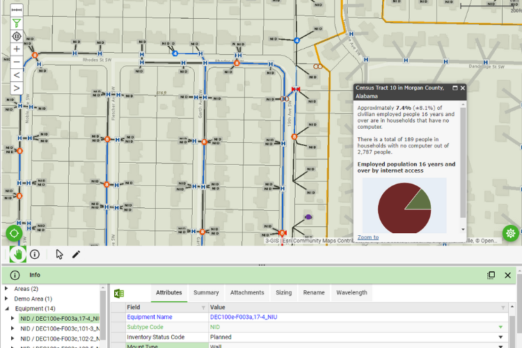
- Demographic data associated with population and corporate citizens
- Institutional locations such as government buildings, schools, etc.
While the data above is typically maintained by the municipality or utility, it is not representative of all data to fully inform the process of planning for fiber. Other data sources that may be collected are as follows:
- Nationwide demographic information as compiled by the US Census Bureau
- Soils information as available nationwide for selected geographies
- Geologic formation as available nationwide for select geographies
- Transportation features such as railroad, major highways, traffic counts, etc.
- National broadband infrastructure information
- Backbone provider identifying available conduit and/or dark fiber available for lease
By applying the network architecture either prescribed by partnering providers or following a base architecture to reach the expected subscriber throughput to a combination of permutations of the data above, 3-GIS can provide the initial geospatial context necessary to evaluate whether an entity is properly positioned for a fiber to the home buildout. More importantly, applying the output above with a predefined costing model will also inform the stakeholders as to the expected cost of each approach.
If you are considering a FTTH buildout and deployment, having an understanding of both the network architecture and its costs are critical elements to success. By automating the planning and costing of your network, 3-GIS Design Services and our partners can mitigate your risk by answering the often murky waters associated with “high-level” planning.